𝗚𝗜𝗦 & 𝗥𝗲𝗺𝗼𝘁𝗲 𝗦𝗲𝗻𝘀𝗶𝗻𝗴
Mapping nature with precision.
Spatial data analysis, satellite imagery interpretation, and digital mapping for environmental and forest-based projects.
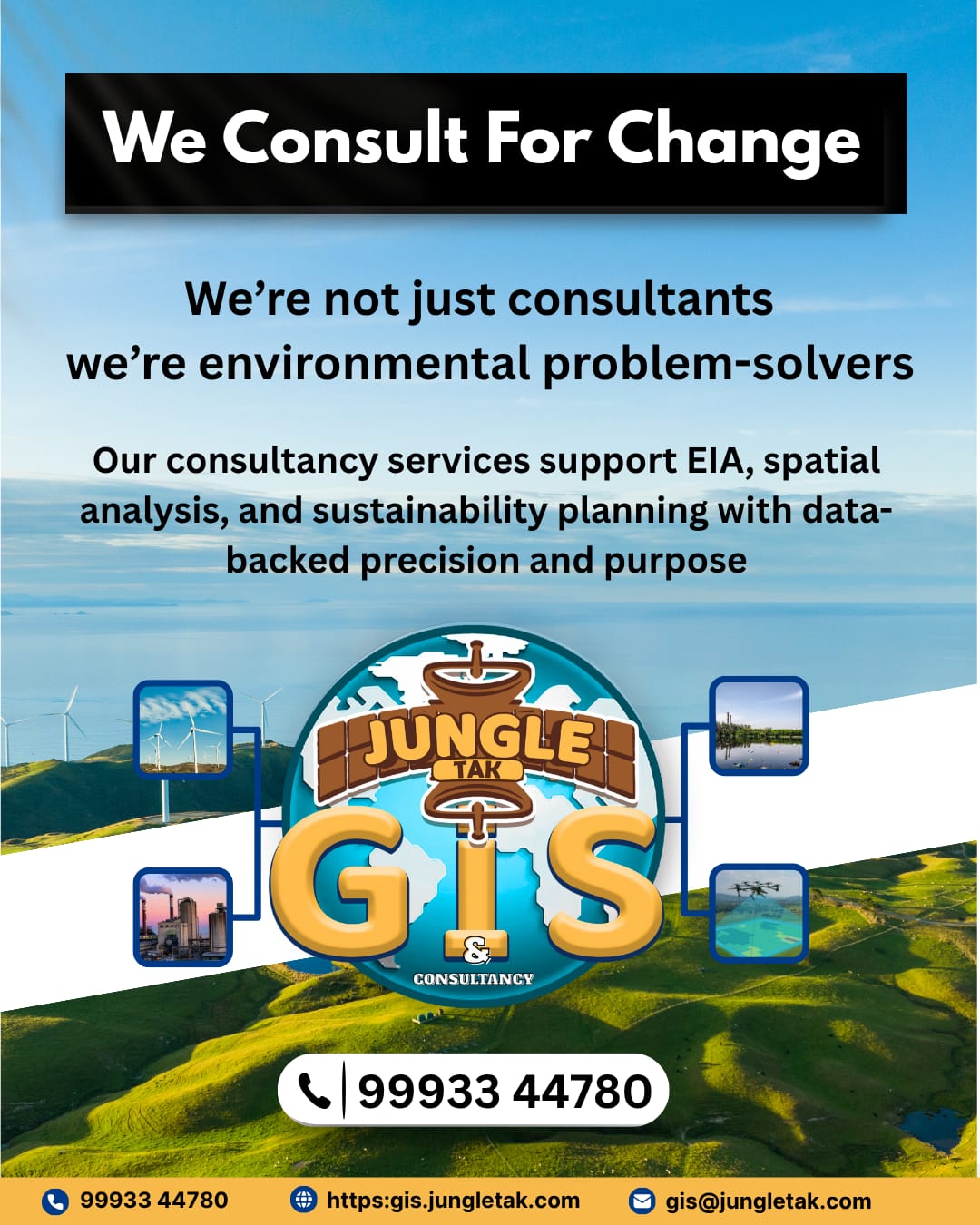
𝗘𝗻𝘃𝗶𝗿𝗼𝗻𝗺𝗲𝗻𝘁𝗮𝗹 𝗖𝗼𝗻𝘀𝘂𝗹𝘁𝗮𝗻𝗰𝘆
Planning today for a sustainable tomorrow.
End-to-end environmental solutions including EIA, biodiversity studies, and eco-restoration strategies.

𝗥𝗲𝘀𝗲𝗮𝗿𝗰𝗵 & 𝗜𝗻𝗻𝗼𝘃𝗮𝘁𝗶𝗼𝗻
Data-driven insights for a greener planet.
Advanced GIS applications, conservation research, and collaborative environmental studies with academic and institutional partners.
Our GIS Services
Remote Sensing & GIS Services
Our Remote Sensing and GIS services offer precise mapping, spatial analysis, and actionable data to enhance planning, monitoring, and decision-making.
Web GIS Development
Spatial Data Analysis
Land Use & Land Cover Mapping

Forest Cover Change Detection

Wildlife Habitat Modelling
Watershed & River Basin Analysis
Drone & Satellite Data Interpretation
Environmental & Forest Consultancy
Our Environmental and Forest Consultancy offers expert guidance in compliance, conservation planning, and sustainable resource management.
EIA (Environmental Impact Assessment)
Environmental Awareness & Training
Wildlife Management Plan Preparation
Carbon Sequestration Studies
Eco-Restoration & CSR Projects
Biodiversity Assessment & Documentation
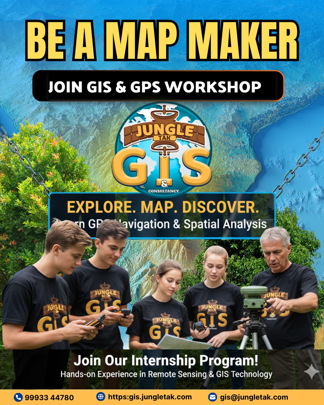
Our Courses Available For Students
Drone Mapping Training
Master professional drone mapping for forests, land, and environment projects.- Learn industry-standard flight planning and aerial survey techniques.
- Capture high-accuracy imagery for GIS and 3D modeling.
- Get trained on popular drone mapping software.
- Perfect for forestry, agriculture, mining & environmental professionals.
GIS Custom Case Study Workshop
Solve real-world environmental problems using GIS workflows.
- Work on tailored, domain-specific GIS case studies.
- Build solutions for forest, wildlife, and land management.
- Learn end-to-end project execution.
- Ideal for students, researchers, NGOs & environmental planners.
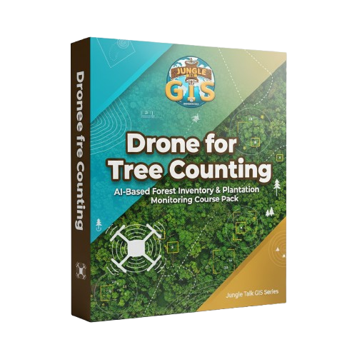
Drone for Tree Counting
Automate tree counting with drone imagery + AI tools.
- Learn plantation & forest inventory techniques.
- Use AI/ML workflows for automated detection.
- Improve accuracy for carbon & biomass estimation.
- Essential for forestry, CSR plantations & green audits.
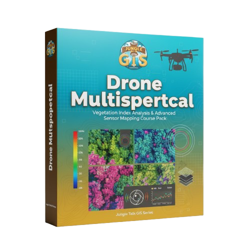
Drone Multispectral Training
Analyze vegetation health using multispectral drone sensors.
- Learn NDVI & vegetation index interpretation.
- Diagnose crop stress & canopy health.
- Process multispectral data with pro-level software.
- Designed for agriculture, forestry & ecology mapping.
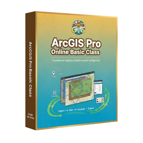
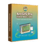
ArcGIS Pro – Basic Online Class
Start your GIS journey with the world’s leading GIS software.
- Master essential ArcGIS Pro tools & workflows.
- Create professional maps and visualizations.
- Work with real environmental datasets.
- Perfect for beginners aiming for GIS careers.
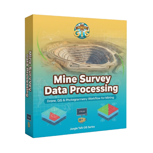
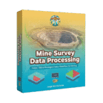
Mine Survey Data Processing
Transform drone data into mine-grade survey outputs.
- Learn DEM, DSM & contour extraction.
- Perform volumetric calculations & pit analysis.
- Understand compliance reporting with GIS.
- Best for mining engineers & survey professionals.
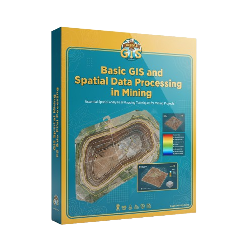
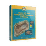
Basic GIS & Spatial Processing in Mining
Use GIS to optimize mining operations and monitoring.
- Learn spatial data handling for mining applications.
- Perform terrain, slope & hazard analysis.
- Support mineral exploration with GIS tools.
- Ideal for mining consultants & surveyors.

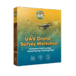
UAV Drone Survey Workshop
Become a certified drone survey professional.
- Hands-on flight operations & mission planning.
- Learn GCP placement & georeferencing.
- Produce orthomosaics, contours & 3D models.
- Perfect for land survey, forestry & infrastructure projects.
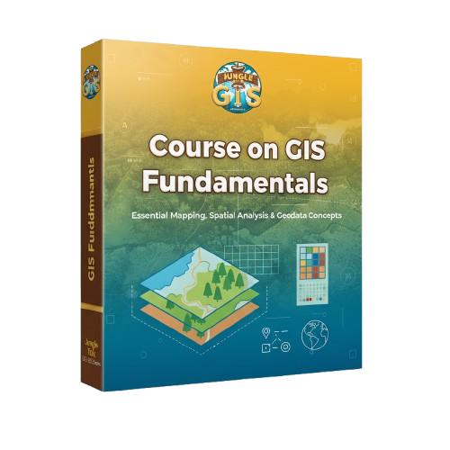
GIS Fundamentals Course
Build a strong foundation for your GIS career.
- Understand spatial data, layers & projections.
- Perform basic analysis and map creation.
- Learn essential GIS concepts with examples.
- Ideal for students & beginners in geospatial science.
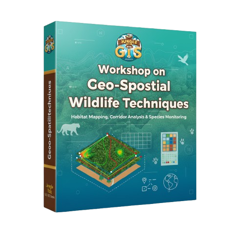
Geo-Spatial Wildlife Techniques Workshop
Use GIS to map wildlife habitats and corridors.
- Learn species distribution & habitat modeling.
- Analyze satellite imagery for ecological studies.
- Map wildlife corridors & conflict hotspots.
- Designed for wildlife researchers & forest staff.
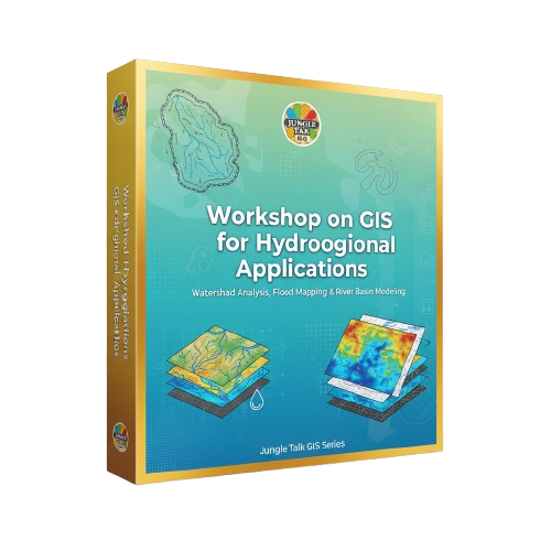
GIS for Hydrological Applications
Analyze water systems using modern GIS tools.
- Perform watershed & drainage mapping.
- Study flood zones and groundwater patterns.
- Run hydrological models with real data.
- Ideal for hydrologists, NGOs & planners.
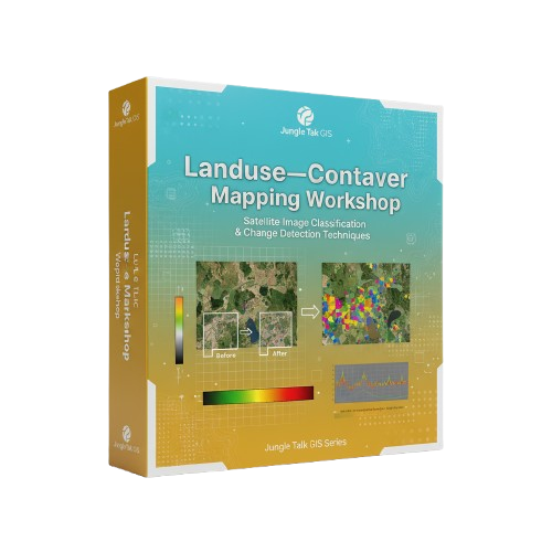
Landuse–Landcover Mapping Workshop
Map land changes using remote sensing & GIS.
- Learn supervised & unsupervised classification.
- Analyze forest loss, agriculture & urban growth.
- Use time-series satellite data for change detection.
- Best for environmental monitoring professionals.
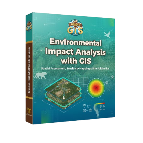
Environmental Impact Analysis with GIS
Conduct professional EIA studies using spatial tools.
- Learn buffer, suitability & sensitivity analysis.
- Map ecological, hydrological & social impact zones.
- Build GIS-based EIA reports for compliance.
- Ideal for consultants & environmental officers.
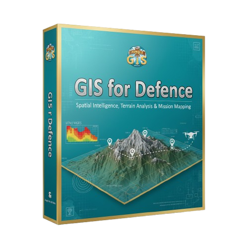
GIS for Defence
Leverage GIS for strategy, terrain intelligence & security.
- Learn terrain modeling & visibility analysis.
- Use spatial intelligence for mission planning.
- Map high-security & surveillance zones.
- Designed for defence, police & disaster response teams.
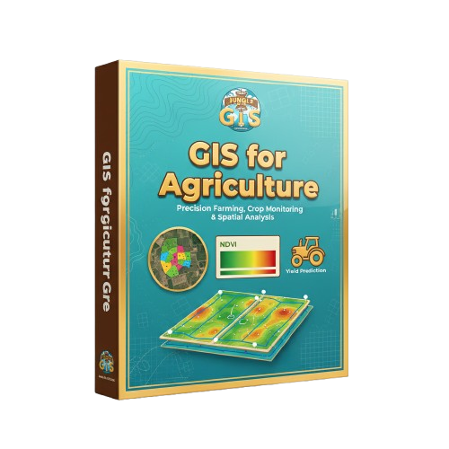
GIS for Agriculture
Boost agriculture using precision GIS & drone tools.
- Map soil health, crop growth & irrigation patterns.
- Use multispectral indices for crop monitoring.
- Predict yield and improve farm decisions.
- Ideal for agri-startups, agronomists & farm managers.

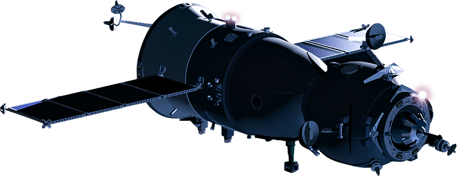
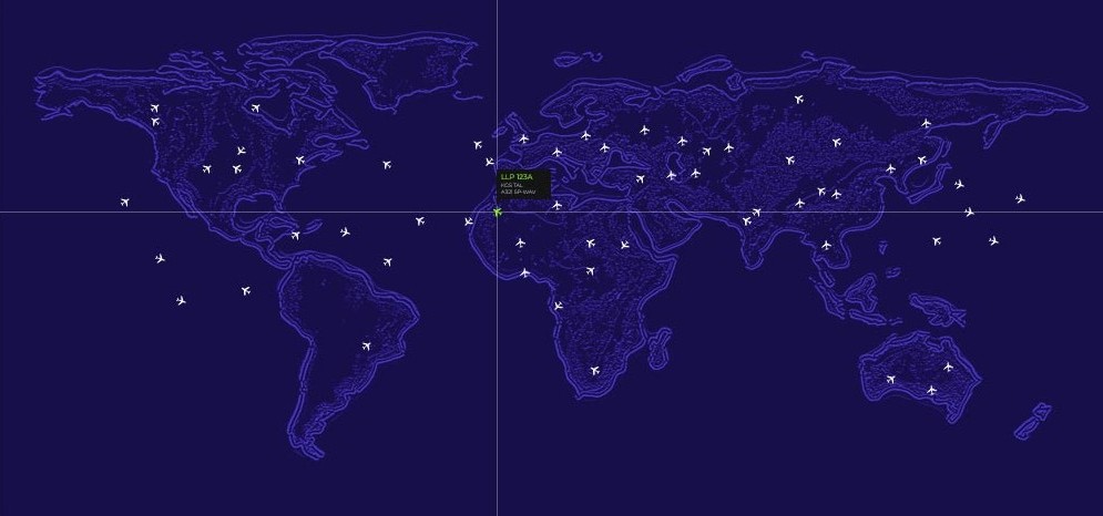
Satellite & Remote Sensing Focus
Space-Based Earth Observation
High-resolution satellite intelligence for forests, wildlife, mining, and environmental monitoring.
Empowering smart GIS decisions through accurate, real-time geospatial data.
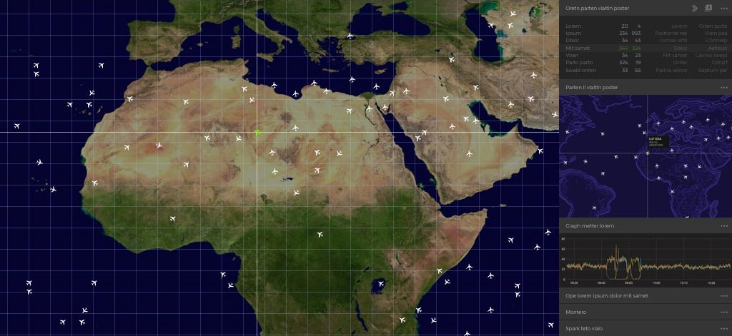
GIS Dashboard Preview
GIS map UI with forest boundaries or biodiversity hotspots.
Years Of Experience
Projects Delivered
Clients Worldwide
Sectors Served
Our partners